Fichièr:Carte Chambon.png
Pas de resolucion mai nauta de disponibla.
Carte_Chambon.png (320 × 362 pixèl, talha del fichièr: 16 Ko, tipe MIME: image/png)
| Aqueste fichièr proven de Wikimedia Commons?. Las informacions que lo concernisson son afichadas çaijós (procedura). |
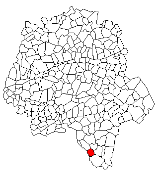
Descripcion
| Descripcion | Localisation de Chambon en Indre et Loire |
| Font | Trabalh personal |
| Autor | Lhb-fr |
Publicat jos licéncia(s)
| Jo, el titular del copyright d'aquesta obra, l'allibero al domini públic. Això s'aplica a tot el món. En alguns països això pot no ser legalment possible, en tal cas: Jo faig concessió a tothom del dret d'usar aquesta obra per a qualsevol propòsit, sense cap condició llevat d'aquelles requerides per la llei. |
Istoric del fichièr
Clicar sus una data e una ora per veire lo fichièr tal coma èra a aqueste moment
| Data e ora | Miniatura | Dimensions | Utilizaire | Comentari | |
|---|---|---|---|---|---|
| actual | 16 junh de 2009 a 07.55 | | 320×362 (16 Ko) | Lhb-fr | {{Information |Description=Localisation de Chambon en Indre et Loire |Source=Own work by uploader |Author=Lhb-fr |Date= |Permission= |other_versions= }} <!--{{ImageUpload|full}}--> Category:Chambon (Indre-et-Loire) [[Category:Indre-et |
Paginas que contenon lo fichièr
La pagina çaijós compòrta aqueste imatge :
Usatge global del fichièr
Los autres wikis seguents utilizan aqueste imatge :
- Utilizacion sus fr.wikipedia.org