Fichièr:Rs map02.png
Talha d'aquesta previsualizacion: 561 × 599 pixèls. Autras resolucions : 225 × 240 pixèls | 449 × 480 pixèls | 977 × 1 044 pixèls.
Fichièr d'origina (977 × 1 044 pixèl, talha del fichièr: 51 Ko, tipe MIME: image/png)
| Aqueste fichièr proven de Wikimedia Commons?. Las informacions que lo concernisson son afichadas çaijós (procedura). |
Descripcion
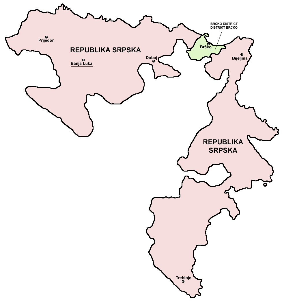
- English: Map of the Republika Srpska (Serb Republic) and Brčko District.
- Serbian: Mapa Republike Srpske i Distrikta Brčko.
Source and licence

|
This map has been uploaded by Electionworld from en.wikipedia.org to enable the |
self made map by user:PANONIAN
| Jo, el titular del copyright d'aquesta obra, l'allibero al domini públic. Això s'aplica a tot el món. En alguns països això pot no ser legalment possible, en tal cas: Jo faig concessió a tothom del dret d'usar aquesta obra per a qualsevol propòsit, sense cap condició llevat d'aquelles requerides per la llei. |
References
- Slobodan Radovanović, Geografski atlas, Magic Map, Smederevska Palanka, 2001.
- Geografski atlas, Intersistem kartografija, Beograd, 2004.
- http://www.ohr.int/ohr-offices/brcko/images/map-brcko-district.jpg
- http://world-gazetteer.com/ copie d'archive at the Wayback Machine
Istoric del fichièr
Clicar sus una data e una ora per veire lo fichièr tal coma èra a aqueste moment
| Data e ora | Miniatura | Dimensions | Utilizaire | Comentari | |
|---|---|---|---|---|---|
| actual | 5 agost de 2011 a 08.56 | | 977×1 044 (51 Ko) | PANONIAN | improved version |
| 5 agost de 2011 a 08.41 |  | 610×602 (11 Ko) | PANONIAN | Reverted to version as of 10:03, 16 July 2007 - please do not upload your work over mine. upload your map under separate filename | |
| 11 abril de 2011 a 00.24 |  | 610×655 (92 Ko) | Kacnepcku-Cp6uja | better quality | |
| 16 julhet de 2007 a 10.03 |  | 610×602 (11 Ko) | Nihad Hamzic | The original image seems to had been saved as JPEG, and the previous uploader had simply directly converted it to PNG. I have greatly optimised image size by removing JPEG artifacts, reducing color domain etc. | |
| 28 decembre de 2006 a 15.48 |  | 610×602 (143 Ko) | Electionworld | {{ew|en|PANONIAN}} {{link|Republika Srpska}} map (self made) {{PD-self}} Note: The borders of Republika Srpska were not determined on the basis of the natural geographical features of the region. Rather, the Inter-Entity Boundary Line runs essentially al |
Paginas que contenon lo fichièr
La pagina çaijós compòrta aqueste imatge :
Usatge global del fichièr
Los autres wikis seguents utilizan aqueste imatge :
- Utilizacion sus ast.wikipedia.org
- Utilizacion sus gl.wikipedia.org
- Utilizacion sus ie.wikipedia.org
- Utilizacion sus ja.wikipedia.org
- Utilizacion sus ka.wikipedia.org
- Utilizacion sus la.wikipedia.org
- Utilizacion sus lv.wikipedia.org
- Utilizacion sus ro.wikipedia.org
- Utilizacion sus szl.wikipedia.org
- Utilizacion sus ur.wikipedia.org
- Utilizacion sus xmf.wikipedia.org