Fichièr:Map of Peru Demis.png
Talha d'aquesta previsualizacion: 423 × 600 pixèls. Autras resolucions : 169 × 240 pixèls | 338 × 480 pixèls | 840 × 1 191 pixèls.
Fichièr d'origina (840 × 1 191 pixèl, talha del fichièr: 431 Ko, tipe MIME: image/png)
| Aqueste fichièr proven de Wikimedia Commons?. Las informacions que lo concernisson son afichadas çaijós (procedura). |
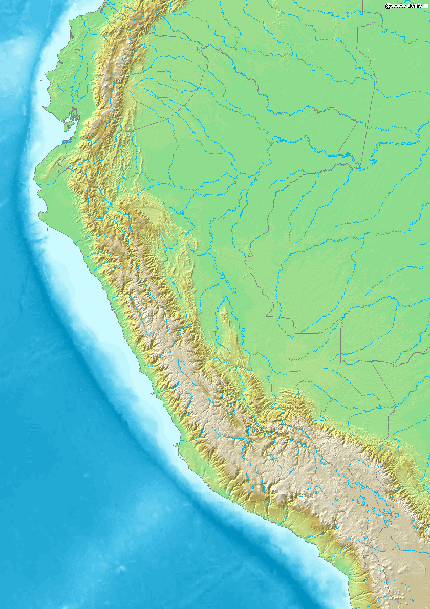
Map of Peru
Bounding box West -82.5°, South -19.5°, East -67.5°, North 1.5°. Center at 9°00′00″S 75°00′00″W / 9.00000°S 75.00000°W.
This image is in the public domain because it came from the site https://www.demis.nl/products/web-map-server/examples/ and was released by the copyright holder. Permission is granted to copy, distribute and/or modify this map since it is based on free of copyright images from: www.demis.nl. See also approval email on de.wp and its clarification.
|
| This work has been released into the public domain by its copyright holder, www.demis.nl. This applies worldwide. En alguns països això pot no ser legalment possible, en tal cas: www.demis.nl concedeix a tothom el dret d'usar aquesta obra per a qualsevol propòsit, sense cap condició llevat d'aquelles requerides per la llei.
|
Istoric del fichièr
Clicar sus una data e una ora per veire lo fichièr tal coma èra a aqueste moment
| Data e ora | Miniatura | Dimensions | Utilizaire | Comentari | |
|---|---|---|---|---|---|
| actual | 20 decembre de 2006 a 20.26 | | 840×1 191 (431 Ko) | Mats Halldin~commonswiki | Map of Peru Bounding box West -82.5°, South -19.5°, East -67.5°, North 1.5°. Center at {{coor d|9.00000|S|75.00000|W|scale:12600000}}. {{demis-pd}} category:maps of Peru |
Paginas que contenon lo fichièr
I a ges de pagina que compòrta un ligam vèrs aqueste imatge.
Usatge global del fichièr
Los autres wikis seguents utilizan aqueste imatge :
- Utilizacion sus ar.wikipedia.org
- Utilizacion sus ast.wikipedia.org
- Utilizacion sus bg.wikipedia.org
- Utilizacion sus bs.wikipedia.org
- Utilizacion sus ceb.wikipedia.org
- Utilizacion sus ckb.wikipedia.org
- Utilizacion sus en.wikipedia.org
- Utilizacion sus es.wikipedia.org
- Utilizacion sus fa.wikipedia.org
- Utilizacion sus gd.wikipedia.org
- Utilizacion sus it.wikipedia.org
- Utilizacion sus kn.wikipedia.org
- Utilizacion sus la.wikipedia.org
- Utilizacion sus lv.wikipedia.org
- Utilizacion sus pl.wikipedia.org
- Utilizacion sus tg.wikipedia.org
- Utilizacion sus uk.wikipedia.org
- Utilizacion sus vi.wikipedia.org
- Utilizacion sus war.wikipedia.org
- Utilizacion sus zh.wikipedia.org